Hostname: page-component-77c89778f8-m8s7h Total loading time: 0 Render date: 2024-07-19T09:37:12.467Z Has data issue: false hasContentIssue false

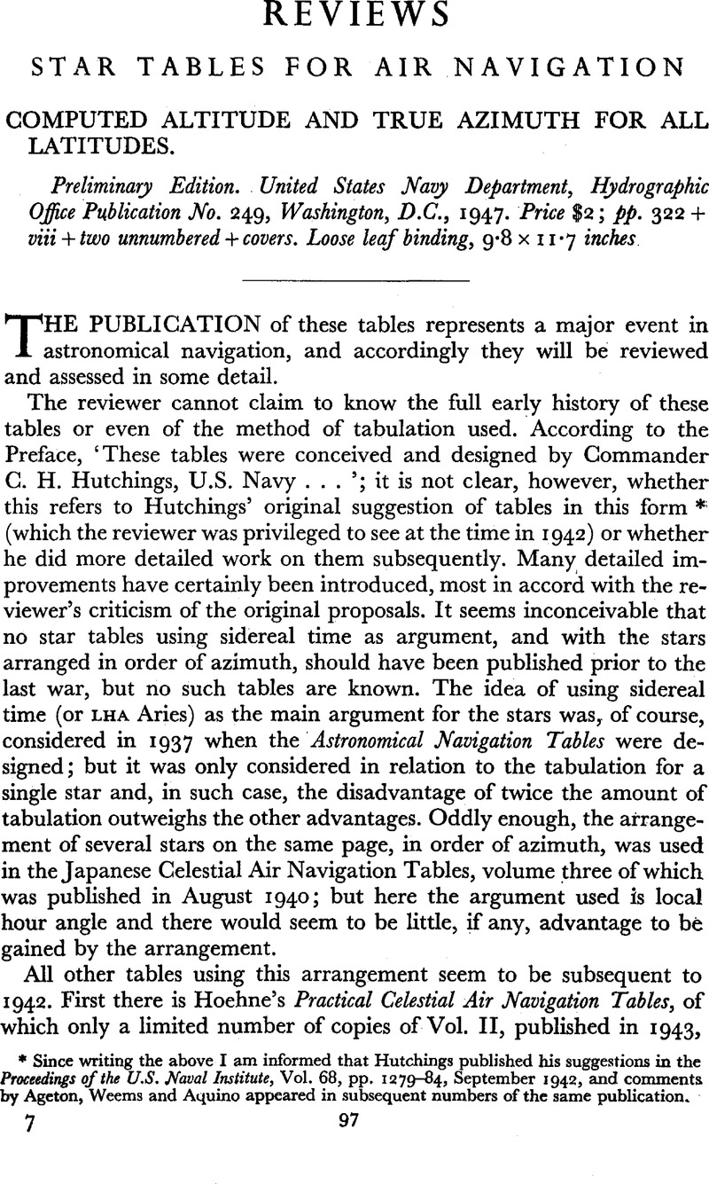
Star Tables for Air Navigation: Computed Altitude and True Azimuth for All Latitudes. - Preliminary Edition. United States Navy Department, Hydrographic Office Publication No. 249, Washington, D.C., 1947. Price $2; pp. 322 + viii + two unnumbered + covers. Loose leaf binding, 9·8 × 11·7 inches

Published online by Cambridge University Press:  18 January 2010

Abstract

Image of the first page of this content. For PDF version, please use the ‘Save PDF’ preceeding this image.'
Type
Reviews
Copyright
Copyright © The Royal Institute of Navigation 1948

Access options

Get access to the full version of this content by using one of the access options below. (Log in options will check for institutional or personal access. Content may require purchase if you do not have access.)