


Introduction
For most Europeans, the later prehistory of southern Siberia is an enigma, known only from museum exhibitions and a few introductory texts. Yet the remarkable monuments that dominate the archaeological landscape (Figure 1) and the gold-strewn burial chambers, which have captured the popular imagination, lead us towards a romanticised view of this ‘nomadic’ world and generate narratives heavily biased towards the lives of the elite.

Figure 1. A small group of Early Iron Age Burial mounds near Orositelnyy, Khakassia (photograph by P. Hommel).
This project, the result of a new collaboration between the University of Oxford and the Khakassian Research Institute of Language, Literature and History, looks beyond these ostentatious mounds and monuments in an attempt to refocus the debate. By turning our attention onto the people who built these monuments and lived their lives around them, we hope to find a richer and more holistic understanding of the role of these pastoral societies in the wider historical processes of the first millennium BC.
Using a combination of survey techniques, we set out to investigate potential areas of prehistoric settlement in a range of environments across the Minusinsk Basin (Figure 2). We aimed to explore the character of these sites, to establish their potential for future research and to begin to register them officially as archaeological monuments to ensure their long-term preservation.

Figure 2. Location map showing the study area.
Marvellous Minusinsk
The grasslands and mountains of the Minusinsk Basin (Republic of Khakassia and southern Krasnoyarsk Province) are among the richest archaeological landscapes in Siberia. Evidence of human activity in this sheltered outpost of the Eurasian Steppe dates back more than 40 000 years, and the region has been extensively occupied since the end of the last Ice Age (Abramova Reference Abramova1981). Throughout this time, we see evidence of widespread contact and interaction. Rare finds of Neolithic ceramics show strong connections with the Cisbaikal, while the material culture of early herders in the region (c. 2900–1500 BC) finds close parallels in Xinjiang, the Altai Mountains and the northern Kazakhstan (Kiselev Reference Kiselev1949; Gryaznov Reference Gryaznov1999; Legrand & Bokovenko Reference Legrand and Bokovenko2006).
From 1500 BC, this ebb and flow of communication seems to have become more of a flood (Loehr Reference Loehr1949; Jettamar Reference Jettamar1950; Svyatko et al. Reference Svyatko, Schulting, Mallory, Murphy, Reimer, Khartanovich, Chistov and Sablin2013; Allentoft et al. Reference Allentoft2015). Researchers have been quick to interpret the patterns in their data as evidence of dramatic changes across steppe society. Yet, our knowledge of these transformations—in diet, material culture and social structure—is based almost entirely on burial assemblages.
Until recently, this problem (although recognised) was placed to one side; after all, it has long been an axiom of steppe archaeology that nomads are primarily visible from their funerary practices (e.g. Chernykh Reference Chernykh2016). This assumption can now be challenged. Dedicated survey and excavation in Kazakhstan, in the highland pastures of the Altai Mountains, has revealed numerous sites of prehistoric nomadic settlement, many with evidence of agricultural production (e.g. Frachetti & Mar'yashev Reference Frachetti and Mar'yashev2007; Shulga Reference Shulga2015); looking beyond the most visible monuments is yielding fascinating results.
‘Monumental Myopia’
With funding provided by the British Academy, ‘Monumental Myopia’ extends the scope of these investigations to explore prospective settlement landscapes identified along the Uibat and Bidzha Valleys in the central part of the Minusinsk Basin. Drawing together an international team of specialists (Figure 3) in Siberian prehistory, settlement survey and archaeobotany, it employs the powerful combination of multi-spectral satellite imagery, integrated surface collection, topographic survey (low-level aerial photography and surface photogrammetry) and geophysical (gradiometry) prospection to characterise these sites and understand better their context (Figure 4).
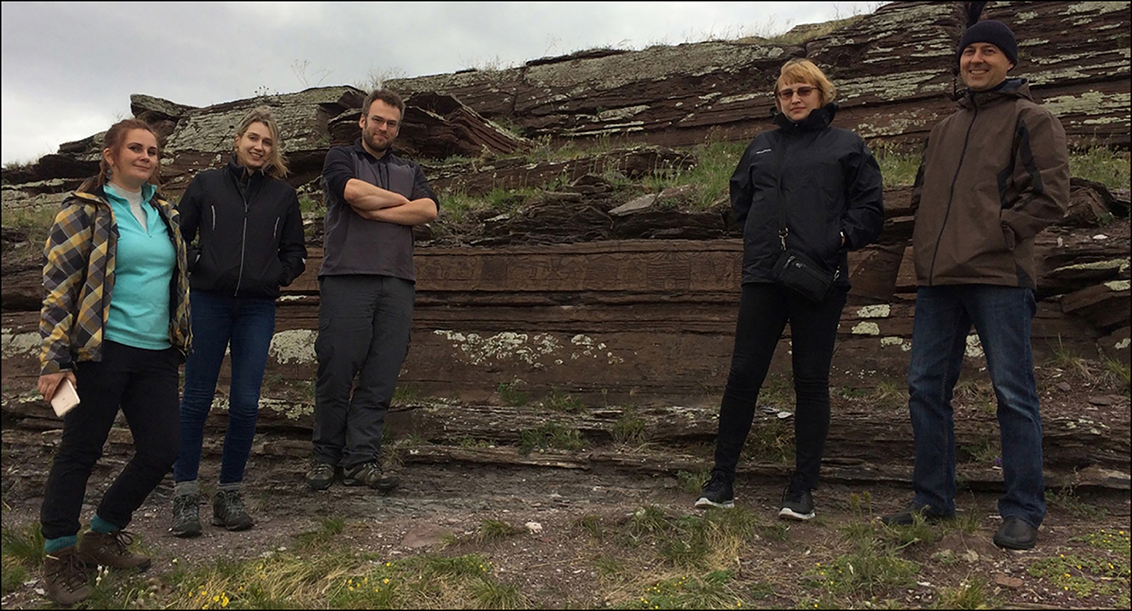
Figure 3. The core field team at the Malaya Boyarskaya Pisanitsa: left to right) Olga Kovaleva, Jade Whitlam, Peter Hommel, Natalia Petrova and Yury Esin (photograph by P. Hommel).

Figure 4. Panoramic view of the Bol'shoy Sakhsar II settlement. Another very similar settlement structure (indicated with arrow) is just visible to the south of the site (photograph by P. Hommel).
A short field season in 2018 set out to test the effectiveness of these approaches in application to a variety of superficially different forms of prehistoric (Late Bronze and Iron Age) settlement in a range of geological environments. To this end, we surveyed a range of possible settlement sites with expected dates in the late second and first millennia BC. The most promising sites were then targeted for more extensive geophysical survey and, where appropriate, small-scale test excavations and measured survey to define the limits of associated archaeological layers and officially register the sites in preparation for a more in-depth investigation in future seasons.
Initial investigations
The results of this scoping exercise highlight the real potential of these integrated techniques in the study of ‘nomadic’ settlements in Siberia. By combining topographic aerial and geophysical survey, we were able to gain new information about the complexity and longevity of these settlement environments (Figure 5). Multiple phases of construction, supported, in some cases, by successive occupation layers, suggest stable patterns of landscape use. Datable material recovered from these settlements will hopefully allow us to resolve these questions further and explore continuity of settlement across the Bronze and Iron Age transition.

Figure 5. Plan of the largest settlement structure at Uzun Khir (figure by P. Hommel).
The widespread application of rapid gradiometer survey in a range of locations enabled us to demonstrate the potential value of the technique to identify structures and anomalies within and around prospective sites. It is also clear from our initial results, however, that high-resolution survey should form an important part of any future research in this region.
Wider scale research, using the characteristics of known sites and their environments—identified on the ground—as the basis for automated searches of multi-spectral satellite imagery is now underway, alongside more traditional visual inspection. In both cases, it is hoped that a better understanding of the location of these sites will help us to comprehend their significance within local patterns of landscape use.
Parallel investigations of settlement structures depicted in contemporaneous rock art (Figure 6) and new collaborations with colleagues working in neighbouring areas of the Sayan Mountains will enable us to extend the scope of our comparisons further. As these strands of research come together, we hope that a clearer picture of the extent and character of ‘nomadic’ settlement will begin to appear. While this is only a small step towards understanding this phenomenon, we hope that it will be the first of many.

Figure 6. Petroglyphs showing houses and other settlement structures at the Malaya Boyarskaya Pisanitsa (after Gryaznov Reference Gryaznov1933).
Acknowledgements
This project is funded by the British Academy Small Grants Scheme (SG162903) and supported by the Khakassian Research Institute of Language, Literature and History.


