


No CrossRef data available.
Article contents
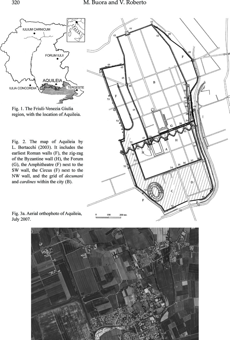
New work on the plan of Aquileia based on aerial photographs and a GIS platform
Published online by Cambridge University Press: 16 February 2015
Abstract
An abstract is not available for this content so a preview has been provided. Please use the Get access link above for information on how to access this content.
- Type
- Archaeological Reports and Notes
- Information
- Copyright
- Copyright © Journal of Roman Archaeology L.L.C. 2010